
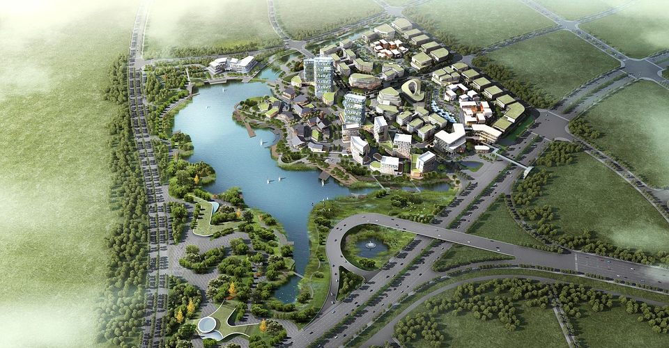
 Image 1 of 2
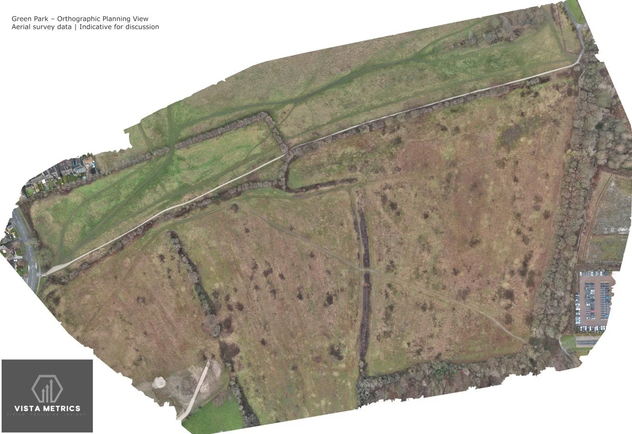 Image 2 of 2
Our 3D drone mapping and orthographic mapping service provides high-resolution, georeferenced aerial datasets for construction monitoring, planning support, land visualisation, and asset documentation.
Using professional photogrammetry workflows, we produce orthographic images (orthomosaics) and scaled 3D site models that allow users to visualise sites, review progress, and extract indicative measurements such as distances, areas, and relative volumes. These datasets are corrected for perspective and distortion, making them suitable for technical review and comparison over time.
All outputs are non-survey-grade and are not intended to replace formal land surveying or engineering measurements. They are designed to support visual assessment, progress tracking, feasibility review, and stakeholder communication, where speed, coverage, and clarity are more important than certified survey tolerances.
We operate repeatable flight plans to support baseline site capture and ongoing progress comparison, enabling teams to clearly identify change, sequencing, and site evolution throughout a project lifecycle.
Deliverables can include:
high-resolution orthographic images
interactive web-based 3D models
point clouds and visual meshes
measurement-enabled files for planning and review
All outputs are supplied in commonly used formats suitable for project teams, consultants, and facilities managers.
Based in Leeds, we regularly carry out 3D mapping and orthographic mapping projects across Yorkshire and surrounding regions, typically travelling up to two hours where a site warrants aerial capture.
If you require a clear, objective aerial record of a site for monitoring, planning support, or documentation — without the cost and lead time of a formal survey — this service provides a practical and reliable solution.