3D Drone Mapping & Orthographic Surveys
Yorkshire Based - UK Wide
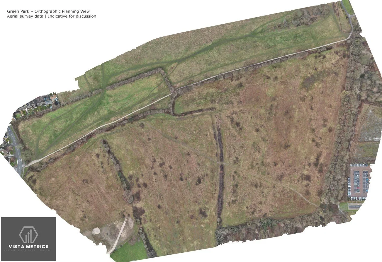
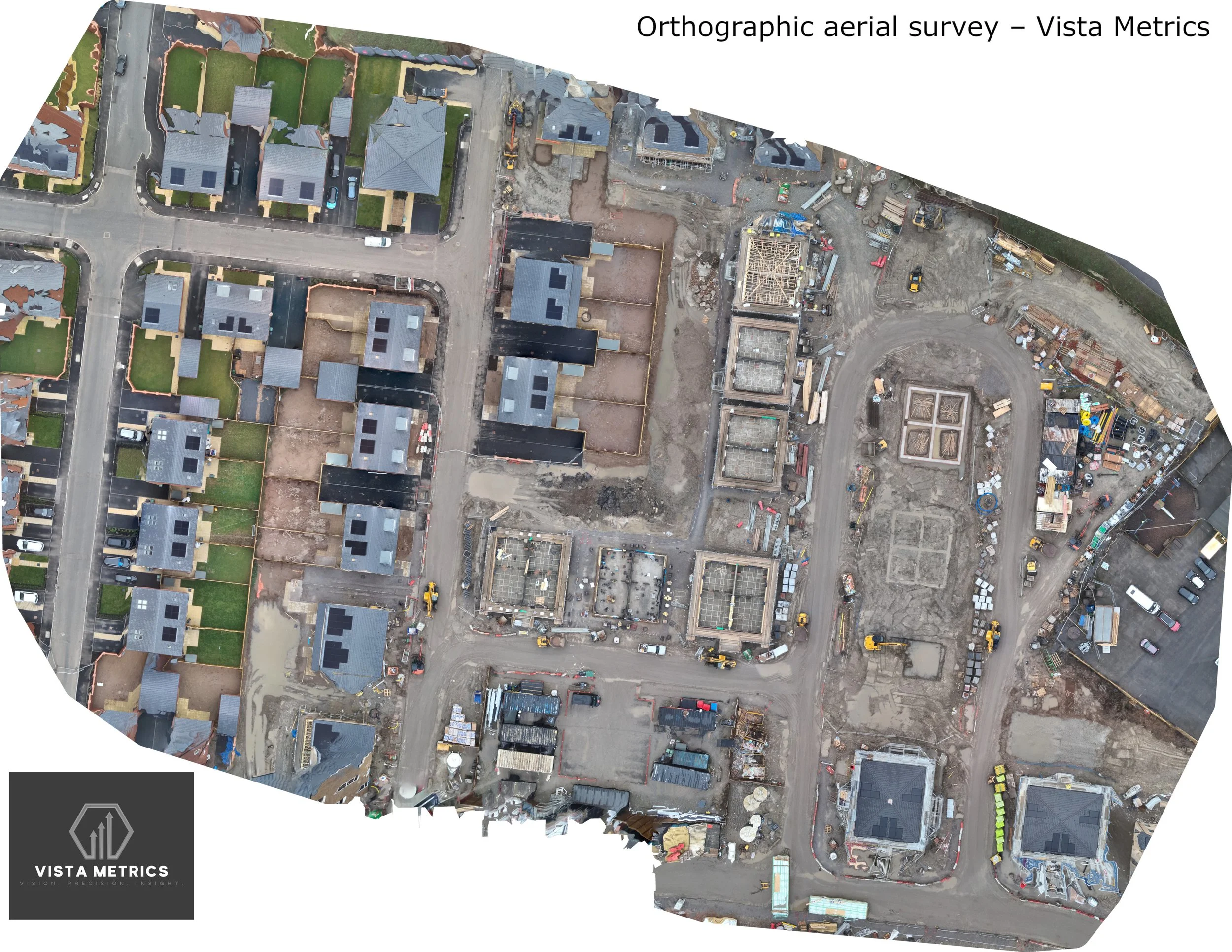
This orthographic image shows a true-to-scale, georeferenced aerial map generated from a dedicated drone capture. Unlike standard aerial photography, orthographic imagery is corrected for perspective and distortion, allowing the site to be viewed accurately from above.
These maps provide a clear, objective overview of a site and are commonly used for:
baseline site records
construction and land visualisation
progress comparison over time
asset layout and contextual review
The output shown here is produced using professional photogrammetry workflows and controlled flight planning to ensure consistent coverage and alignment between datasets.
All mapping outputs are non-survey-grade and are intended for visualisation, monitoring, and indicative measurement rather than certified land surveying.
The same capture is presented below as an interactive 3D site model, allowing the area to be explored from multiple angles.
Interactive 3D Site Model
High-resolution 3D site model generated from aerial drone photogrammetry.
Rotate, pan, and zoom to explore site layout, terrain, and surrounding context.
Used for visualisation, planning discussions, and stakeholder communication at key project stages.